public:converting_geolocated_data
Table of Contents
Converting Geolocated file formats
Who is this guide for
- Anyone wanting to convert a geolocated file to a different format, or XY instead of latitude and longitude
What this guide teaches
- How to generate files in the alternative format
Things to know beforehand
This guide describes the use of QGIS, an Open Source Desktop GIS. You can download this software here.
You should download the geolocated file from smartdublin.ie/data
Using QGIS
Import Data
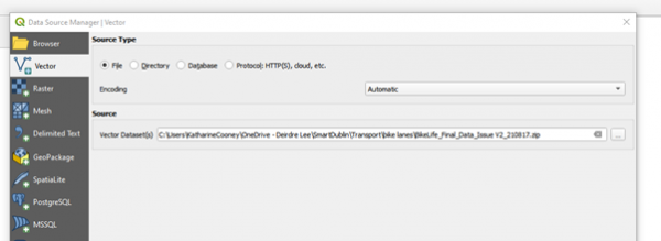
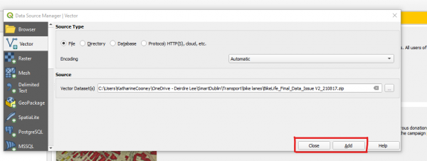
Open QGIS and select “Add Vector Layer”
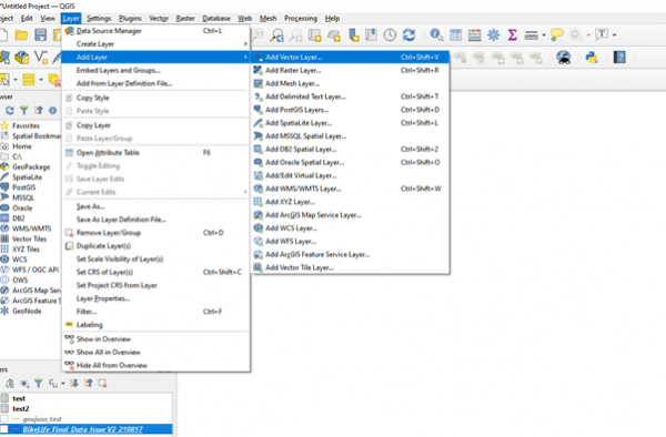 Note, if you want to convert a CSV file to a geolocated format, you should select “Add delimited text layer”
To convert file
Right-click on file in “Layers” on bottom left:
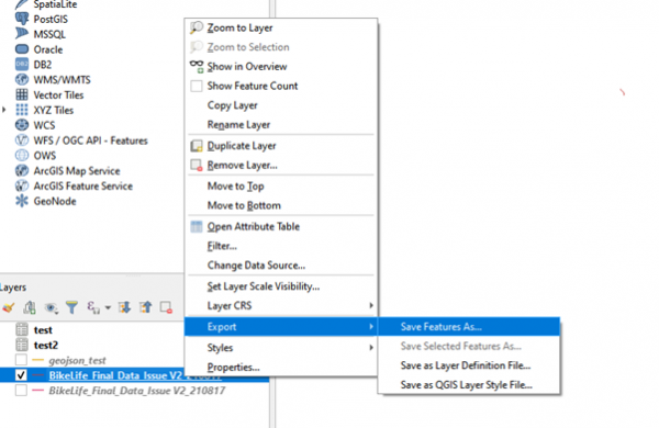
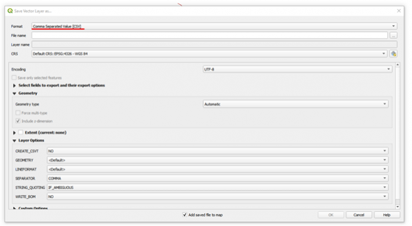
Select format, in this case CSV:
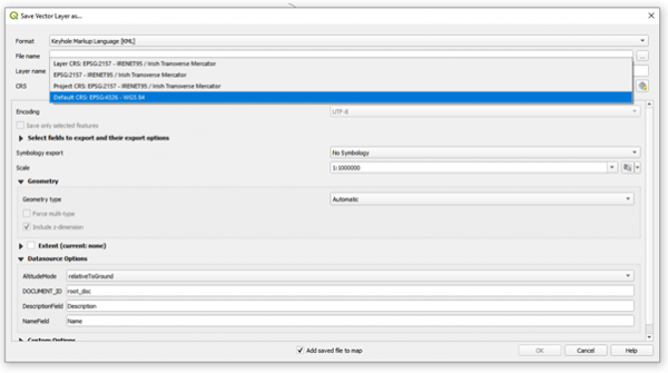
Select the projection you want to use:
If the one you want to use is not listed, use this button to add it:
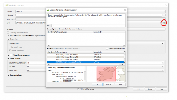 (Double click to add).
You can use the various options to select the fields to export etc. To create the export file, fill in the filename and then click OK. The file will be (by default) in your “documents” folder.
public/converting_geolocated_data.txt · Last modified: 2022/03/08 09:03 by admin

